deepTerra - land classification made easy
Collect, augment, learn, predict - all without needing an extensive IT background. See your predictions on google maps. Export your data to other systems.
Unlock land classification effortlessly with satellite imagery and AI-driven deep learning, no prior computer science or AI expertise required.
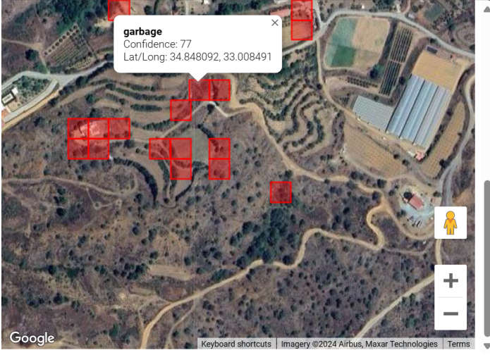
Collect, augment, learn, predict - all without needing an extensive IT background. See your predictions on google maps. Export your data to other systems.
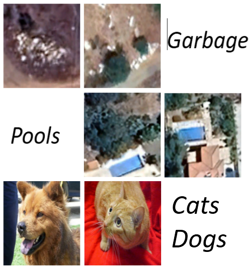
See the results of applying deepTerra to a variety of situations, including garbage detection, private swimming pool identification, image recognition of cats versus dogs, and various others.

In the coming weeks and months I hope to put make available various bits and pieces, such as presentation slides, datasets, demos versions of the application, papers I've produced, technical data of various sort, and so on.

Machine learning has a carbon footprint and associated environmental impact. I have used tools to assess and report on the impact of deepTerra.
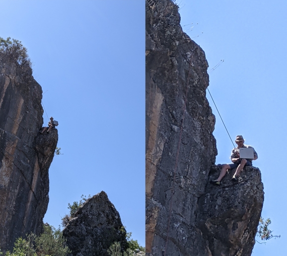
If you're interested in any of this stuff, or want to know more, or have an image recognition and/or land classification project that you think I could assist with, then feel free to drop me a line using one of the contact methods below.